September 23
Found a great anchorage behind an island that had plenty of room for WB to swing on anchor. Fat chance of that as there is at least a 2 mph current. This is a photo of the chartplotter showing the anchorage.
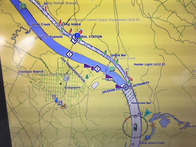
The blue area is shallower water (in this case, 13′) than the channel. The anchorage is denoted by the little green square with the anchor in it. There is this really cool user based app called Active Captain that Garmin purchased from the founders of the app 2 years ago. It gives reviews of anchorages, marinas and things to do around them. Great to have this info.
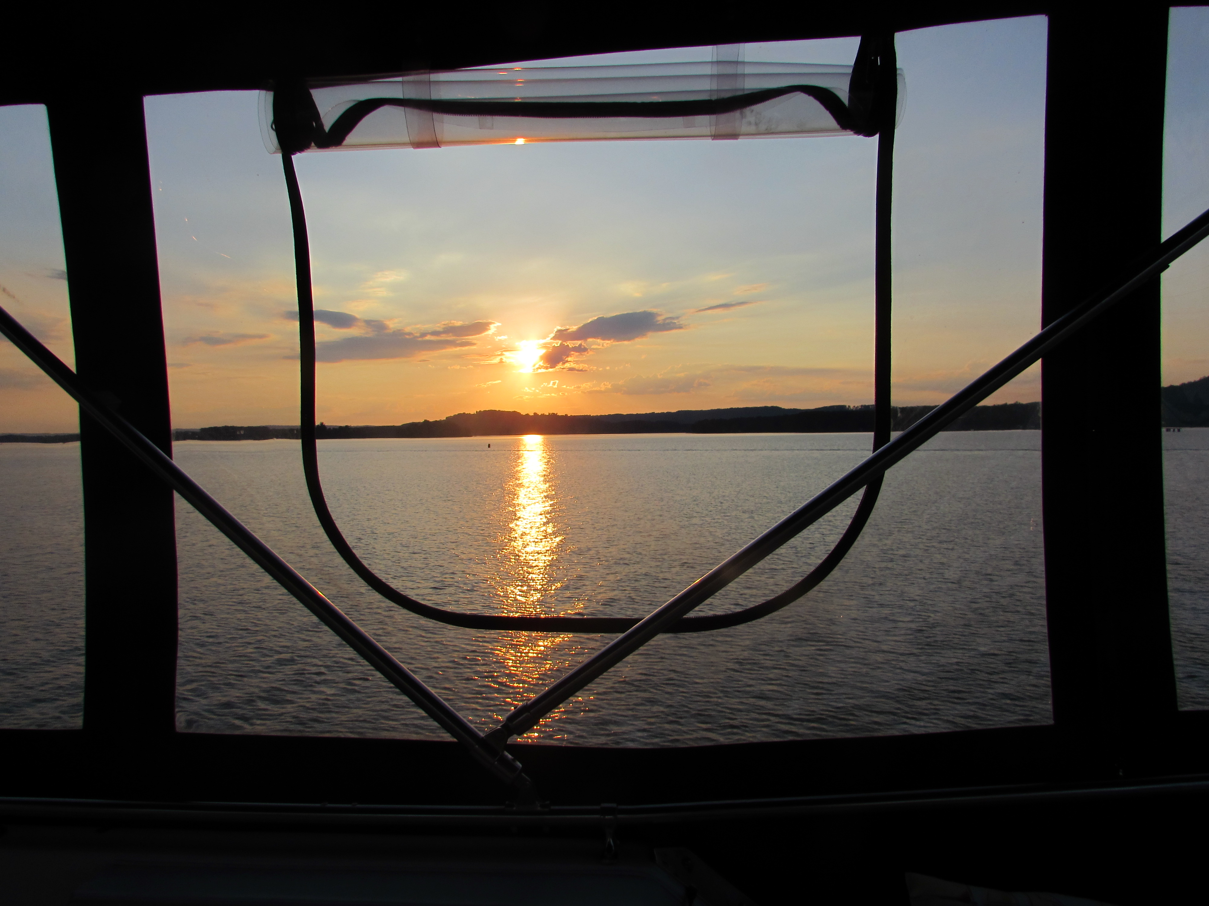
Got this great photo of the sunset from our flybridge 90 minutes after we anchored. We learn fast.
Cruising along on Friday we were fighting a significant current. Heading upstream with the engine rpm’s set at 1200 we were going 8.79 mph. When we turned and cruised with the current at the same engine speed we increased our speed to 10.2 mph.


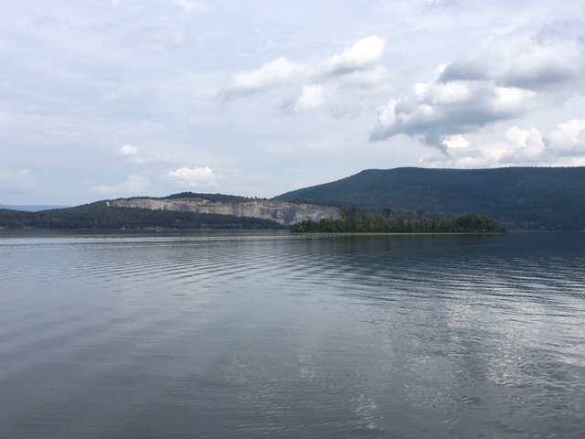
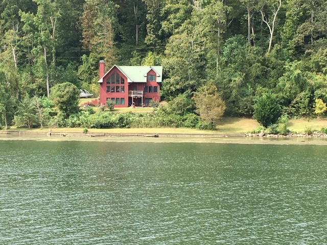
Some pretty images of the river:
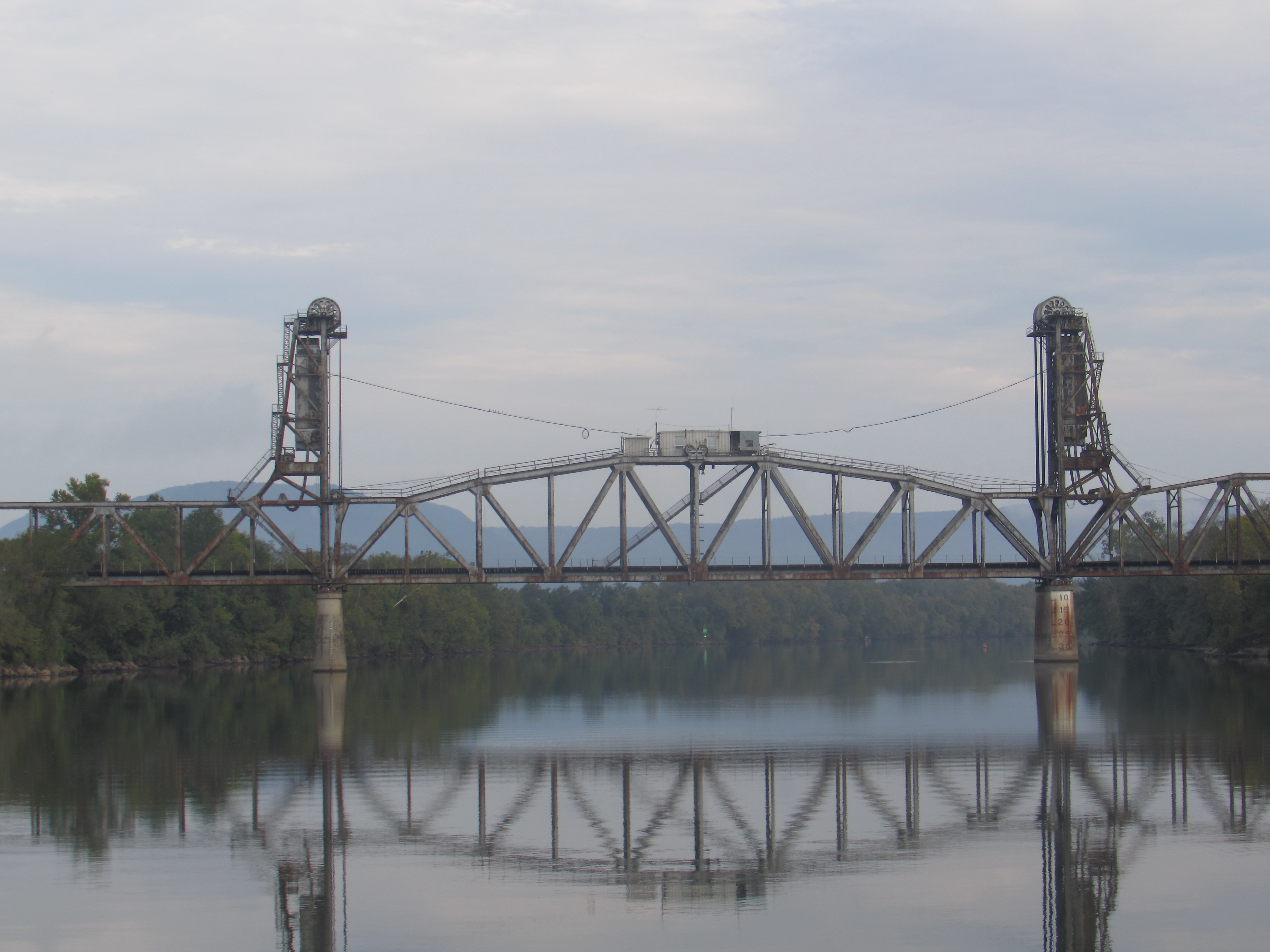
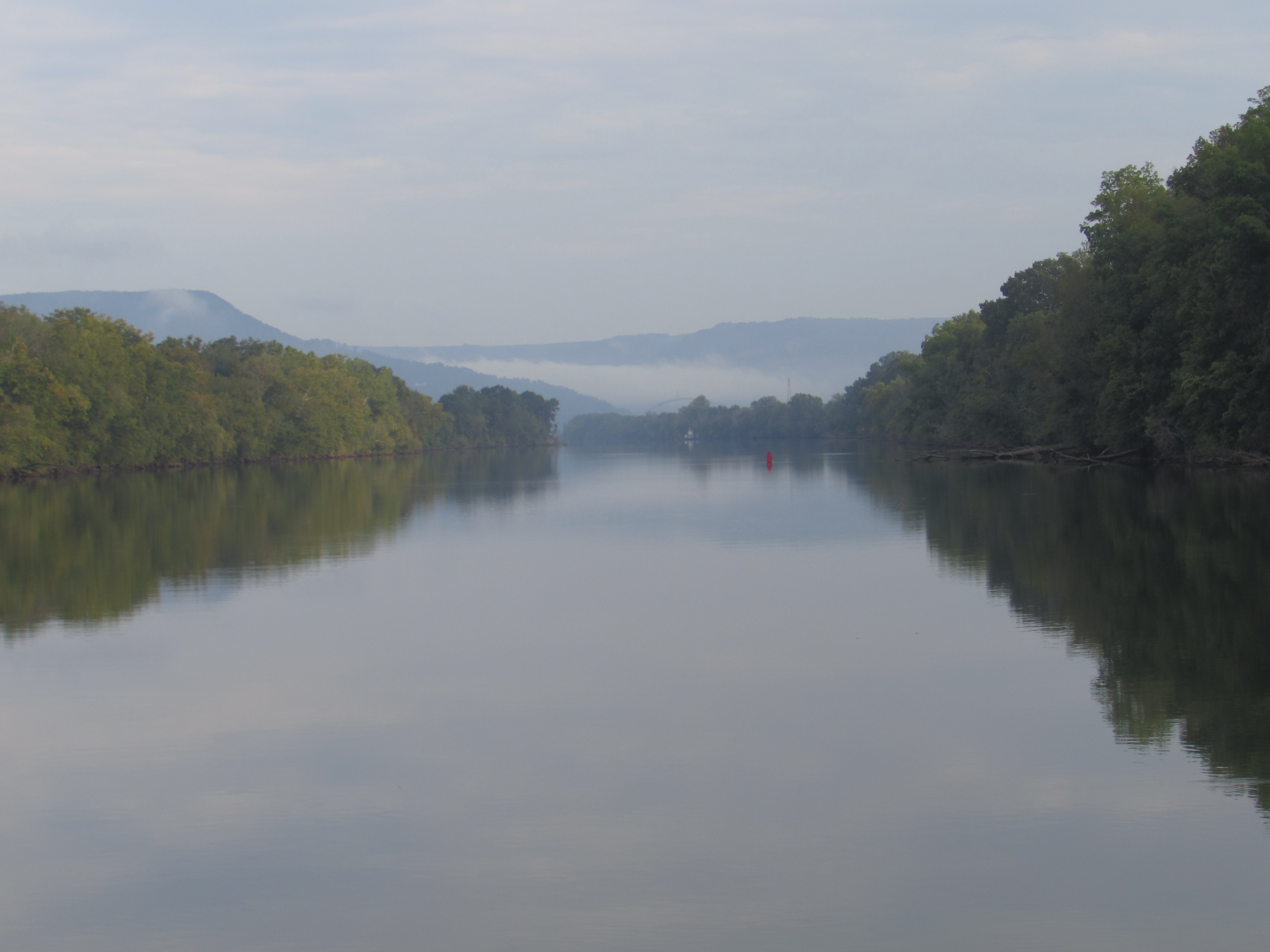
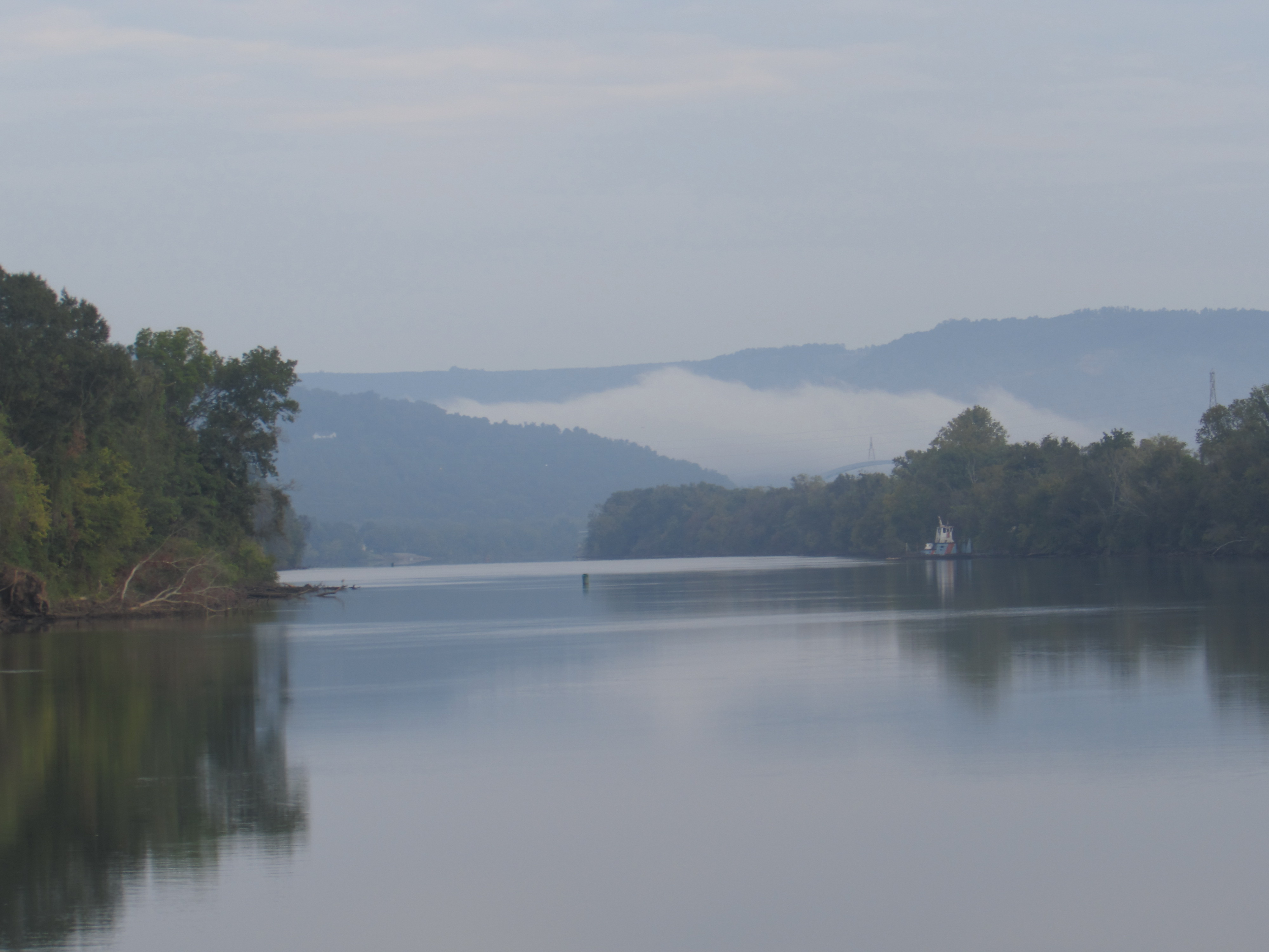
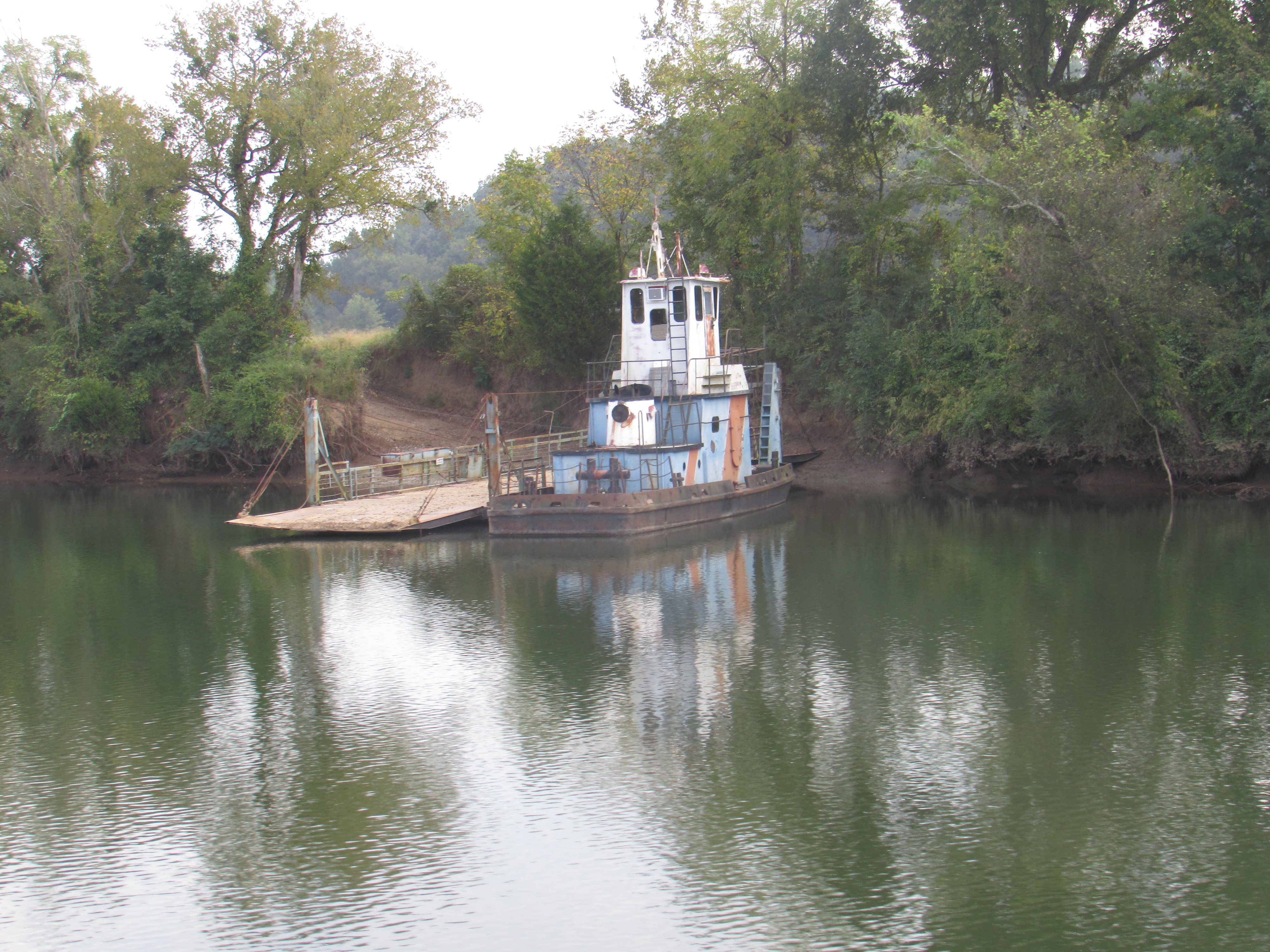
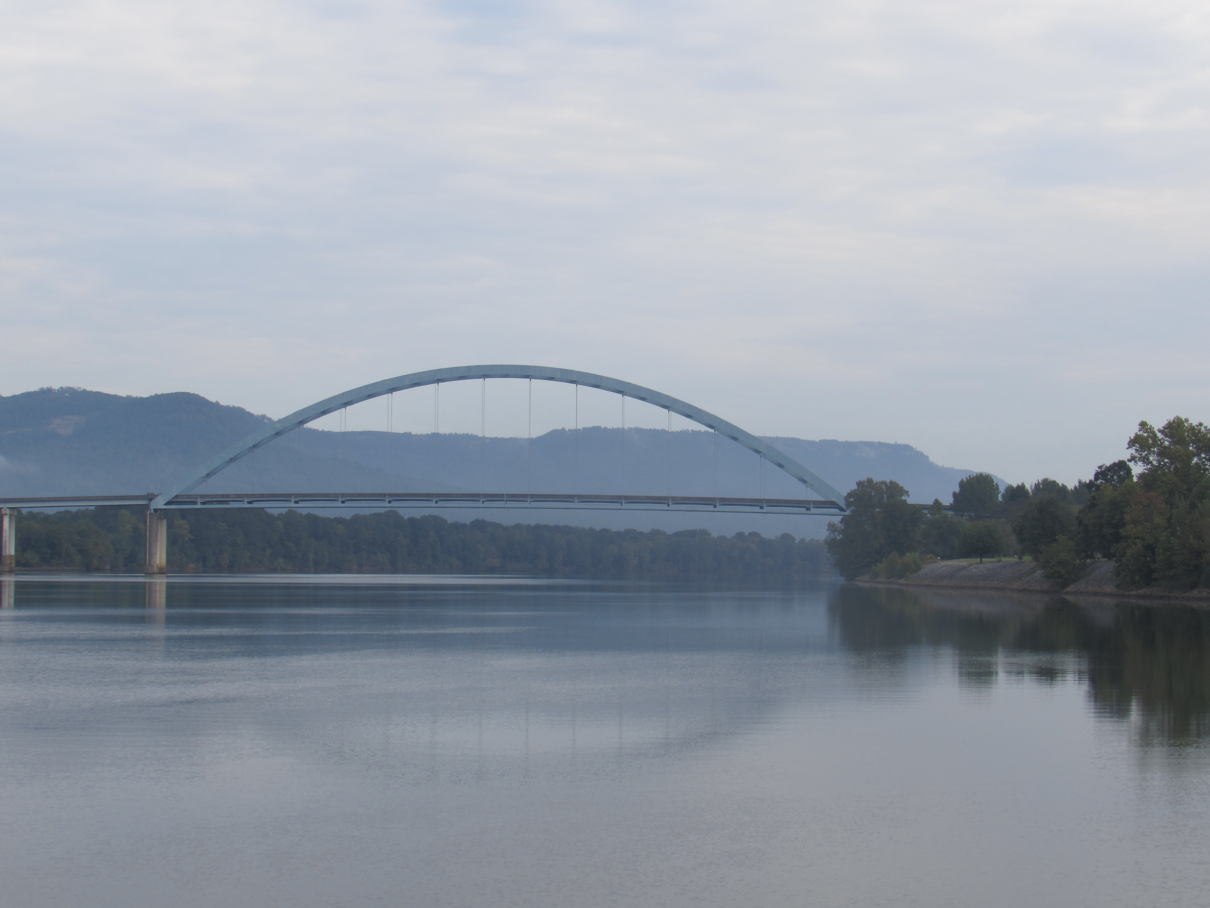
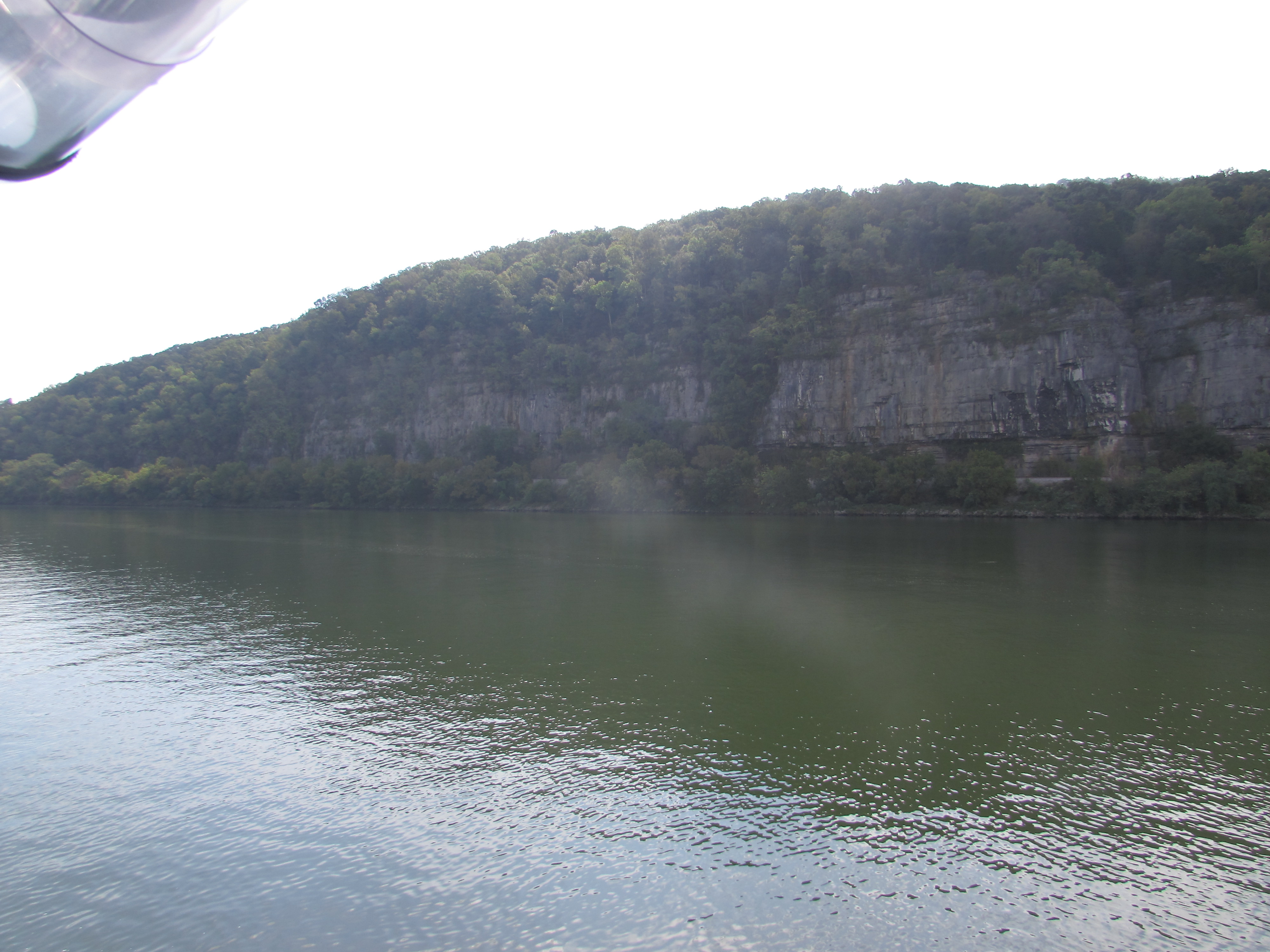
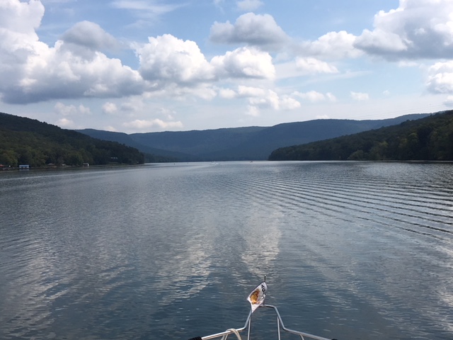
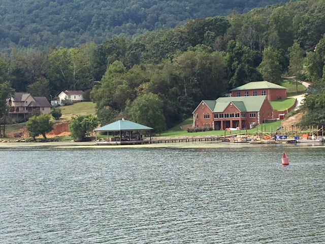
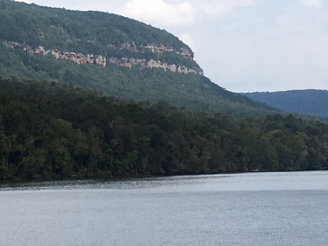
and these…
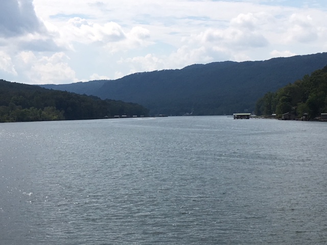
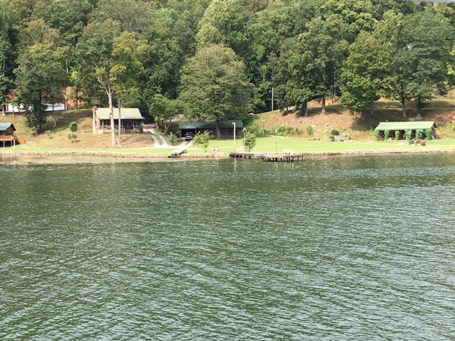

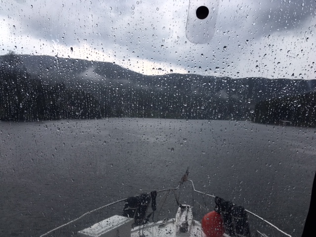
And then about an hour of this…
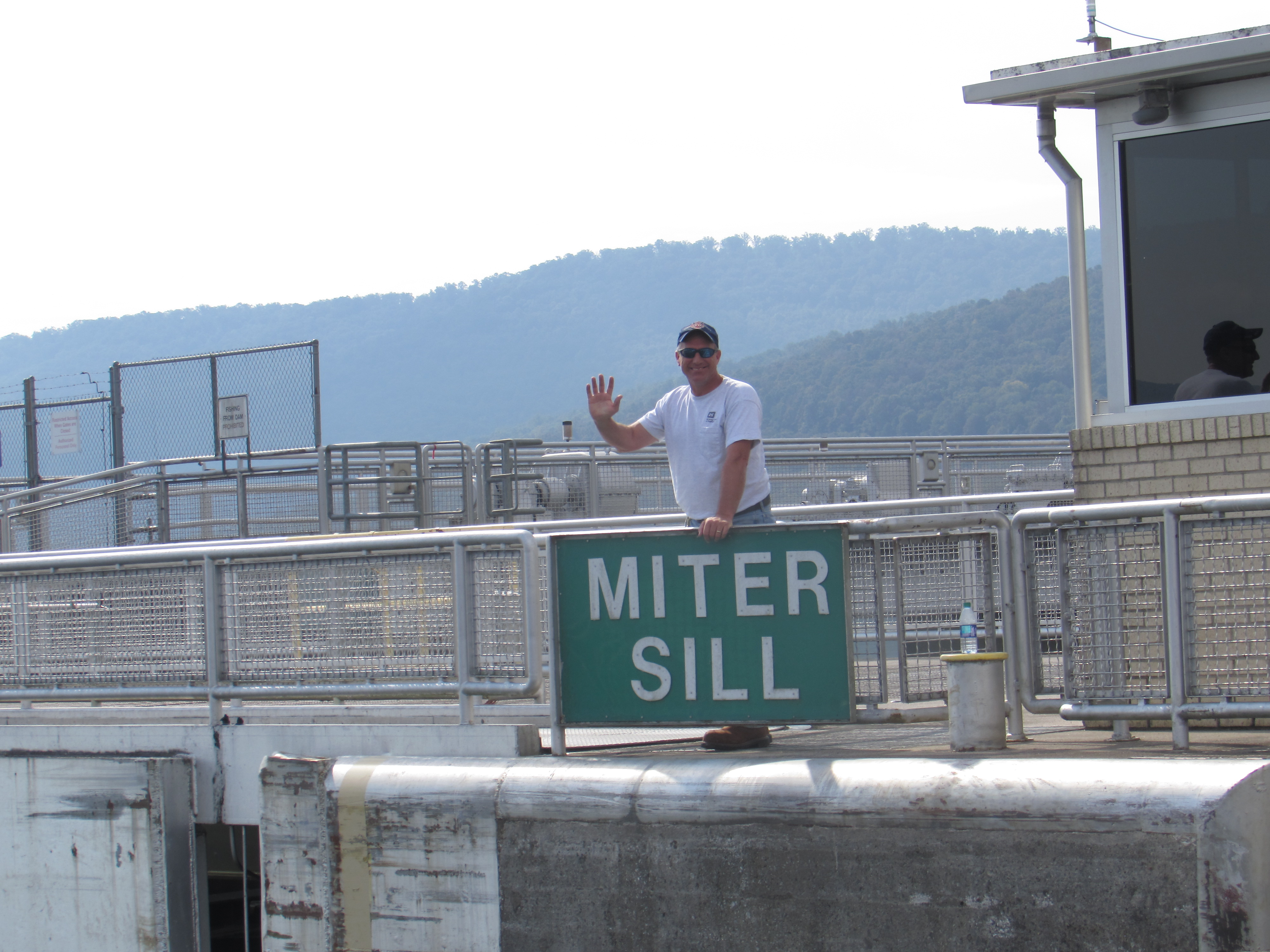
Went through the Nickajack locks earlier in the day. When I called the lock master about 3 miles out he already had prepared the lock for us since he was alerted to us on his AIS system. On our way out of the lock, Jeff the lock master came out to say hi.
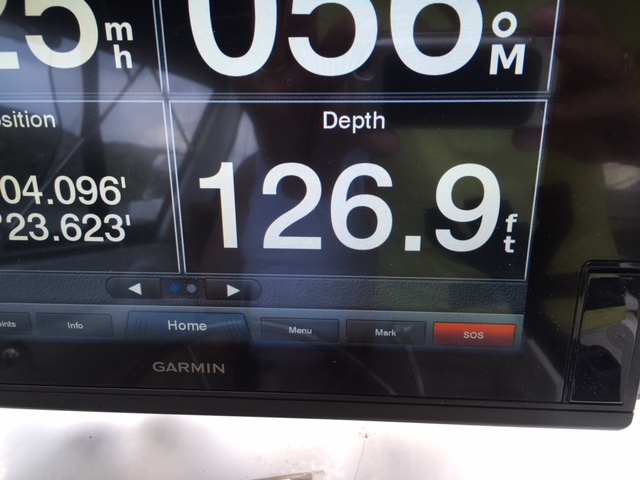
After leaving Jeff and the Nickajack lock behind we noticed the deepest water we have encountered in 1150 miles of travel since leaving Louisville.
Finally got to Chattanooga and the dock we had rented for the next 2 weeks was right on the river. The dam just upriver from town, the Chickamauga locks and dam was dumping a lot of water. Current was running about 3 mph. Doesn’t sound like much but that is screaming. Simply could not get the boat in the slip without crashing into the dock. So we just tied up across FOUR docks until we could figure out how to get in that darn slip. From this beautiful 53′ Hatteras at the end of the dock comes the owner. Brad Gillenwater came over and gave us a really good idea on how to get in that slip. We have 2 very large round fenders we use in locks to keep WB well off the walls of the locks. We tied them to the end of the downriver dock of the slip and aimed WB up river at the slip. We knew we were gonna hit the dock but the big round fenders were up to the task of bouncing WB off the dock preventing any damage to boat or dock. Finally got in that slip. Big sigh of relief!
Our relief was short lived as after hooking up the shore power we were only getting 120 volts, should have gotten 240. Hooked up to the other side of the pedestal. No luck. Tried 2 other pedestals. Again, no luck. Made some calls and could not figure this out. At 3 am, woke up with a viola moment. As it turned out, the marina that repaired the boat a few days earlier did not have a hookup for our 50 amp service. They hooked up a 30 amp cable and shut down 1 side of our panel. Turned a knob on the electric panel and that did the trick. The issue had not shown up the prior night because we anchored out.
Picked up a rental car and drove 314 miles home. Not even 1 tank of gas. Took 1120 miles and I don’t even know how many gallons of diesel fuel to get there.
What is wrong with this picture???

Spectacular scenery makes me wonder why I always opt to leave the country to cruise.
LikeLike
I am told we will miss the best part of the Tennessee. Upriver near Knoxville is the Little Tennessee River that runs into North Carolina. Another day perhaps…
LikeLike